Professional Aerial Photography & Surveys—Since 1991
When you need crystal-clear aerial images that actually show you what matters, fly with the pros. At Starlight Flight, we’ve been capturing the sky’s perspective for over 30 years—from ranchland to real estate, skyscrapers to construction sites.
Our prices are a fraction of the price of helicopter prices.
Drones are great for some things—but if you want to be in the air yourself, see the site in real time, or get wide-range, high-resolution images, it’s time to go beyond remote control.
Our flights deliver what drones can’t: human perspective, premium quality, and full control.
Commercial Property
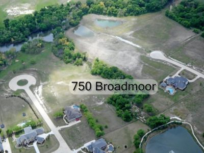
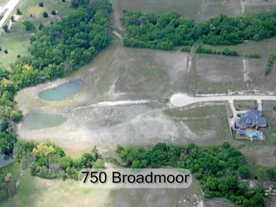
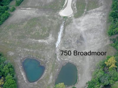
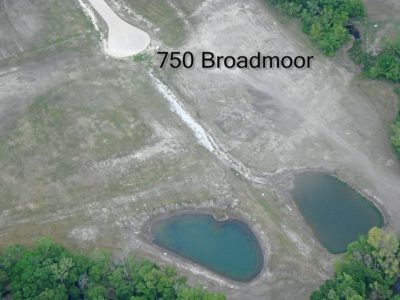
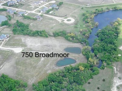
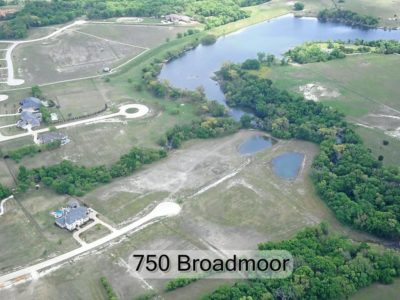
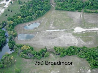
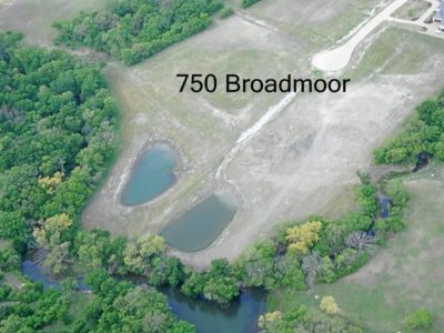
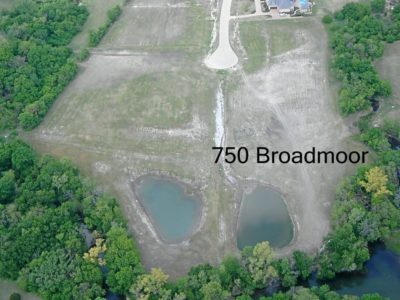
Residential Land Survey/Ranch-Based Aerials
Commercial Construction
Aerial survey from groundbreaking to ribbon-cutting
Ranch Properties (Great birthday or Christmas gift photos)
Why Fly with Starlight Flight?
- Direct Access = Big Savings
Why pay a third party when we’re the ones doing the flying? Skip the middleman and work directly with us for better pricing and personalized service. - Ride Along, See It Yourself
Want to experience the view in real time? You can fly with us for a small additional fee—perfect for landowners, developers, or anyone wanting a firsthand look. Up to 2-3 passengers may be able to pay to ride along pending weight! - Fast. Professional. Reliable.
With decades of experience—including traffic watch and real estate scouting—we know how to get up, capture the shot, and land without wasting your time or money. - Tailored to Your Project
We specialize in custom aerial photography and video for:- Commercial developments
- Residential real estate & luxury estates
- Ranchland & rural property
- Construction progress & surveys
- Your Airport, Your Schedule
We can depart from nearly any local airport for maximum convenience.
Aerial Photography Survey Pricing
Pro-Quality Images, Without the Pro-Level Markup
Whether you’re showcasing a property or surveying a development, our pricing is clear, competitive, and customized. We base rates on our 30- or 60-minute flight packages—and we’re almost always more affordable than helicopter tours or outsourced services.
Ideal for:
- Realtors – Sell the view with cinematic shots that elevate listings.
- Developers – Track progress or map future builds with precision.
- Investors & Corporations – Visualize your assets from above with clarity and detail.
- Competitive Pricing – Our rates beat ALL local helicopter flights and third-party aerial photography companies. Every flight is customized to your needs, with pricing based on our 30- and 60-minute tour rates.
Ready to Elevate Your Perspective?
Call the owner, David Snell, today at 469-767-2645 for a custom quote on aerial photography, airplane tours, or aerial surveys!
